-
 ×
- ホーム
- アート プリント ▸
- 芸術家 ▸
- カテゴリー ▸
- アート スタイル ▸
- 額縁 ▸
- 印刷媒体 ▸
- すべての印刷メディア
- レオナルド・キャンバス(サテン)
- サルバドール・キャンバス(マット)
- ラファエル・キャンバス(マット)
- ファインアート・フォト(マット)
- ファインアート・フォト(サテン)
- ファインアート・フォト(バライタ)
- ファインアート・フォト(光沢)
- ムンク・水彩ボード
- ルノアール・水彩ボード
- ターナー・水彩ボード
- デューラー・水彩ボード
- ナチュラル・ライン(ヘンプ)
- ナチュラル・ライン(ライス)
- コウゾホワイト、110g
- コウゾナチュラル、110g
- インベホワイト、125g
- 雲竜、55g
- 竹、110g
- 雲竜プレミオ、165g
- ムラクモナチュラル、42g
- ビザンナチュラル、300g
- ビザンホワイト、300g
- アルミ複合 3mm
- アクリルガラス 5mm
- サンプルセットを注文
- どの印刷媒体が合っていますか?
キャンバス
写真用紙
水彩紙ボード
ナチュラルライン
和紙
特殊メディア
詳細情報
- ヘルプとサービス ▸
- ショップ ▸
- 連絡先



 3D/ARで見る
 お気に入りに追加
 壁紙の色を選択する
 部屋の中で絵画を見る
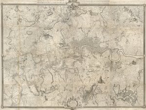
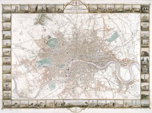
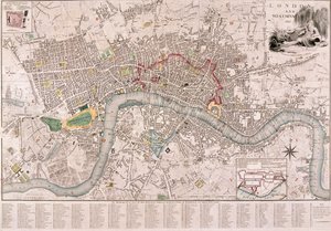
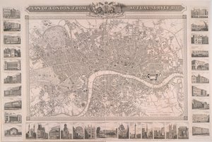
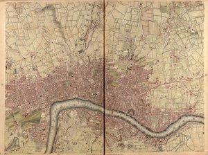
.jpg "タリスのロンドンおよび近郊図解地図、1851年万国産業大博覧会記念、ジョン・タリス・アンド・カンパニー刊")
.jpg "ストラットフォード、ロンドン、1746")
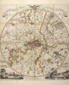

.jpg "オランダとフランスの軍隊によるルーヴェンの包囲1635")
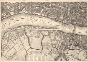
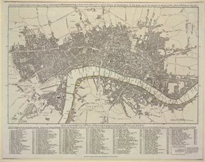
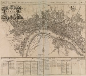
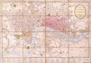
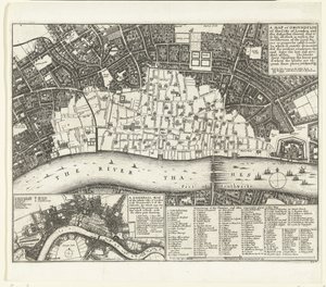
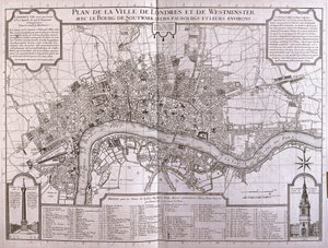
.jpg "A.チャーチル、J。ナプトン、R。ナップロックら、1720年に出版された「ロンドンとウェストミンスターの都市の調査」におけるロンドン市、ウェストミンスターとサザークの新しい計画")
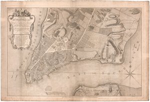
.jpg "1766年と1767年に調査された北米のニューヨーク市の計画、1776年のFaden&39;s Atlasでの発表")
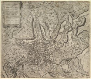
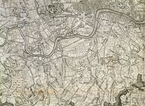
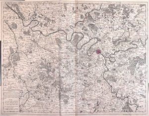
.jpg "パリの地図")
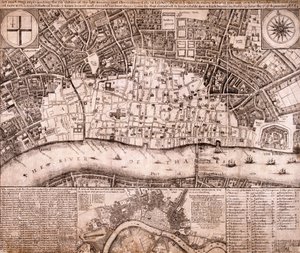
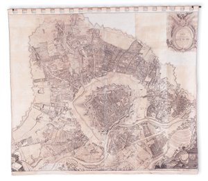
 (for d - (MeisterDrucke-251976).jpg "「キウィタス・ロンディヌム」、ロンドンの地図、1560年")
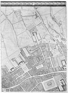
.jpg "キングス・ロードの地図、ロンドン、1746年")
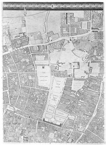
.jpg "ロンドン、マイル・エンドの地図、1746年")
.jpg "ロンドン、ケンジントン王宮と庭園の地図、1736年")
.jpg "ロンドン、ライムハウスとロザーハイスの地図、1746年")
.jpg "ロンドン、メリルボーンの地図、1746年")
.jpg "ロンドン、マイル・エンドとステップニー・グリーンの地図、1746年")
.jpg "ロンドン市シティ・オブ・ロンドン、クラーケンウェルの地図、1746年")
.jpg "ロンドン、ウエストエンドとソーホーの地図、1746年")
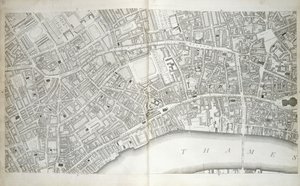
.jpg "ロンドン、セント・ポールズとバンクサイドの地図、1746年")
.jpg "オールド・ロンドン橋の地図、ロンドン、1746年")
 (detail of 438496) - (MeisterDrucke-38235).jpg "1746年のタイバーンの地図(438496の部分)")
.jpg "ロンドン、セント・ジェームズの地図、1746年")
.jpg "ロンドン、ワッピングの地図、1746年")
.jpg "勝利するクピド")
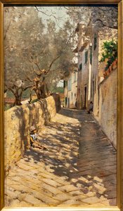
 1873 - (MeisterDrucke-126917).jpg "アルジャントゥイユの画家の庭(ダリアのある庭の一角)、1873年")
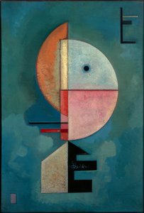
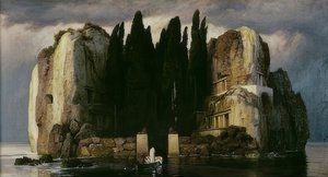
 - (MeisterDrucke-681505).jpg "タヒチ:タヒチの風景、ポール・ゴーギャン(1893年)")
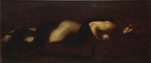
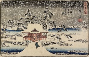
.jpg "アッピア街道")
.jpg "磔刑、イーゼンハイム祭壇画より、1512-15年頃")
.jpg "キュビスムのユリ")
 - (MeisterDrucke-153135).jpg "虹の中の猫")


 +43 4257 29415
 support@meisterdrucke.com
 Mo-Do: 7:00 - 16:00 | Fr: 7:00 - 13:00