-
 ×
- ホーム
- アート プリント ▸
- 芸術家 ▸
- カテゴリー ▸
- アート スタイル ▸
- 額縁 ▸
- 印刷媒体 ▸
- すべての印刷メディア
- レオナルド・キャンバス(サテン)
- サルバドール・キャンバス(マット)
- ラファエル・キャンバス(マット)
- ファインアート・フォト(マット)
- ファインアート・フォト(サテン)
- ファインアート・フォト(バライタ)
- ファインアート・フォト(光沢)
- ムンク・水彩ボード
- ルノアール・水彩ボード
- ターナー・水彩ボード
- デューラー・水彩ボード
- ナチュラル・ライン(ヘンプ)
- ナチュラル・ライン(ライス)
- コウゾホワイト、110g
- コウゾナチュラル、110g
- インベホワイト、125g
- 雲竜、55g
- 竹、110g
- 雲竜プレミオ、165g
- ムラクモナチュラル、42g
- ビザンナチュラル、300g
- ビザンホワイト、300g
- アルミ複合 3mm
- アクリルガラス 5mm
- サンプルセットを注文
- どの印刷媒体が合っていますか?
キャンバス
写真用紙
水彩紙ボード
ナチュラルライン
和紙
特殊メディア
詳細情報
- ヘルプとサービス ▸
- ショップ ▸
- 連絡先


 3D/ARで見る
 お気に入りに追加
 壁紙の色を選択する
 部屋の中で絵画を見る


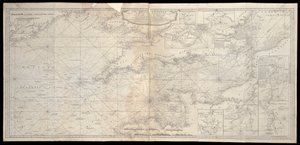
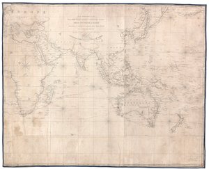
.jpg "西インドアトラスからの大西洋または西洋、1775")
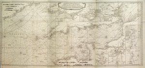
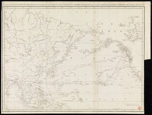
.jpg "大西洋または西洋の海図、ネルソン艦隊の航跡、1805年5月12日〜1805年8月15日")
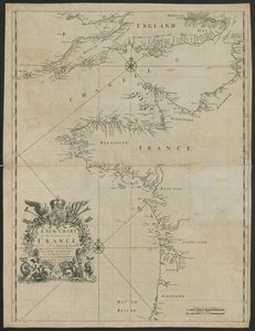
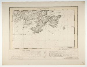
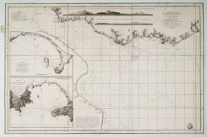
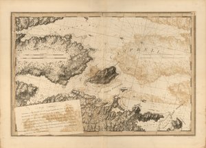
.jpg "セレベスの西海岸の一部の地図")
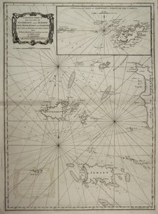
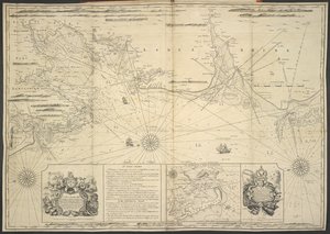
.jpg "ロワールの口")
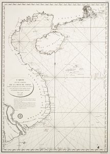
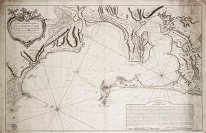
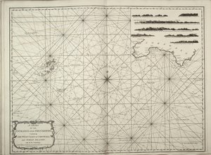
.jpg "チリ、パタゴニア、ティエラ・デル・フエゴおよびフォークランド諸島の地図、1798年頃(エングレーヴィング)")
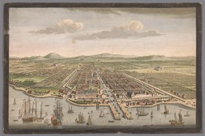
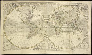
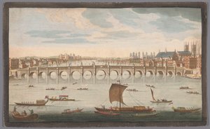
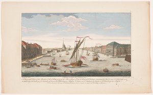
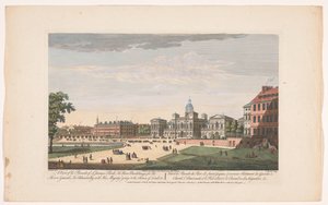
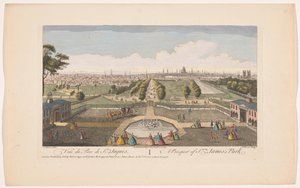
.jpg "南アフリカの喜望峰の眺め 喜望峰 (オブジェクトのタイトル) VOC(シリーズタイトル)の決済")
.jpg "北側から見たロンドンの街並み ロンドンの北側の眺め (オブジェクトのタイトル) ロンドン(シリーズタイトル)")
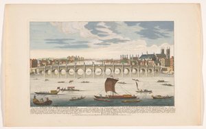

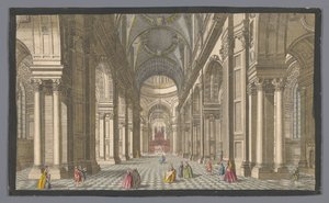
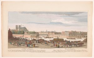

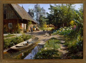
 - (MeisterDrucke-229132).jpg "エル・カスティージョの眺め、1844年")
.jpg "横たわる女性の裸婦")
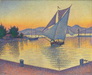
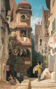
.jpg "日本の橋のある睡蓮の池")
.jpg "彼はそれを見て泣いた")
.jpg "デルフトの眺望")
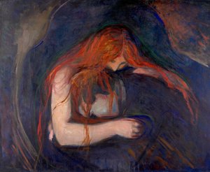
.jpg "パリ近郊の春、リンゴの花、1879年")


 +43 4257 29415
 support@meisterdrucke.com
 Mo-Do: 7:00 - 16:00 | Fr: 7:00 - 13:00