-
 ×
- ホーム
- アート プリント ▸
- 芸術家 ▸
- カテゴリー ▸
- アート スタイル ▸
- 額縁 ▸
- 印刷媒体 ▸
- すべての印刷メディア
- レオナルド・キャンバス(サテン)
- サルバドール・キャンバス(マット)
- ラファエル・キャンバス(マット)
- ファインアート・フォト(マット)
- ファインアート・フォト(サテン)
- ファインアート・フォト(バライタ)
- ファインアート・フォト(光沢)
- ムンク・水彩ボード
- ルノアール・水彩ボード
- ターナー・水彩ボード
- デューラー・水彩ボード
- ナチュラル・ライン(ヘンプ)
- ナチュラル・ライン(ライス)
- コウゾホワイト、110g
- コウゾナチュラル、110g
- インベホワイト、125g
- 雲竜、55g
- 竹、110g
- 雲竜プレミオ、165g
- ムラクモナチュラル、42g
- ビザンナチュラル、300g
- ビザンホワイト、300g
- アルミ複合 3mm
- アクリルガラス 5mm
- サンプルセットを注文
- どの印刷媒体が合っていますか?
キャンバス
写真用紙
水彩紙ボード
ナチュラルライン
和紙
特殊メディア
詳細情報
- ヘルプとサービス ▸
- ショップ ▸
- 連絡先




 3D/ARで見る
 お気に入りに追加
 壁紙の色を選択する
 部屋の中で絵画を見る
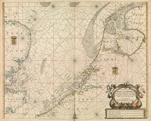
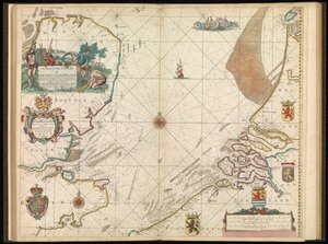
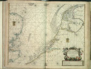
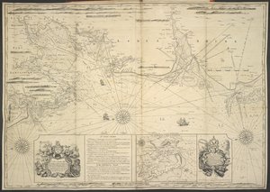
.jpg "イギリス人水先案内人の最初の本:北方航路の記述、1671年頃(紙)")
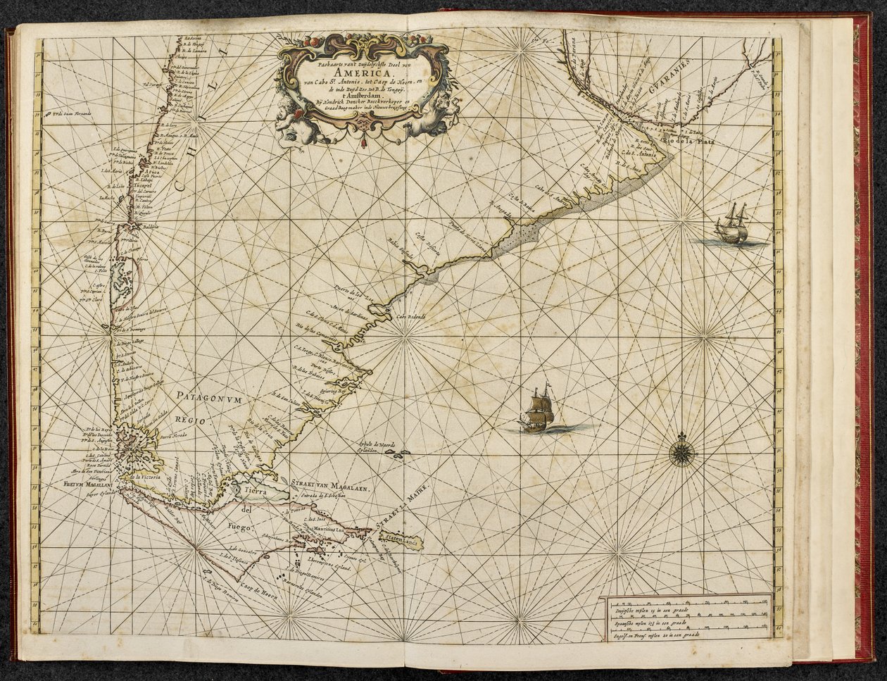
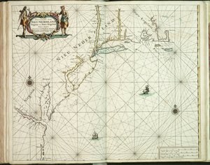
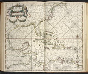
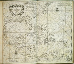
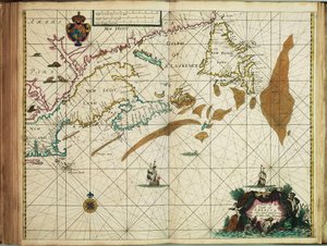
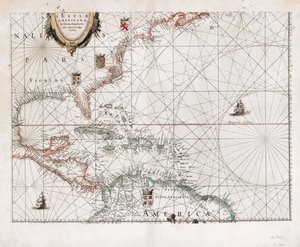
 published in Amsterdam 1683 (hand coloured engraving) - (MeisterDrucke-115315).jpg "アメリカ、「Le Nouveau et Grand Illuminant Flambeau de la Mer」のプレート17、Claes Jansz編著。 Vooght(fl.1680-96)、アムステルダム1683年に発行(手描きの彫刻)")


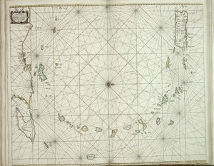
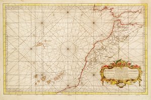
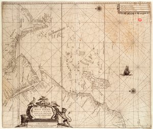
.jpg "アフリカの西部コストの削減された地図")
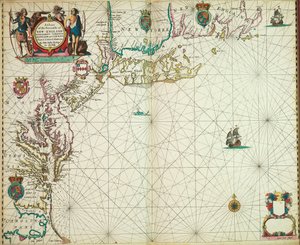
.jpg "ロワールの口")
 - (MeisterDrucke-670164).jpg "チャネルのアンティークマップ、1666年(カラー彫刻)")
.jpg "国立図書館地図コレクションの地図。この地図は刊行され、ノルウェー沿岸、アグデル、ローガランを示している")
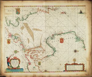
.jpg "アサフからコンスタンティノープルまで広がる黒海全域の新しい拡大段彩海図。海岸に見られるほとんどすべての港、川、要塞または砦を示し、最も正確な測量に基づく t")
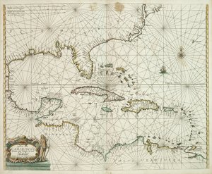
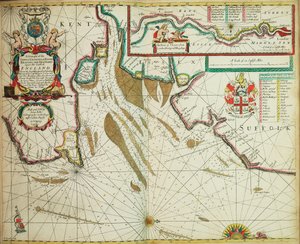
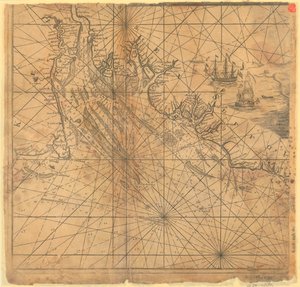
.jpg "タイプクマグルーエンランディア、アイスランド、デビッド海峡、島フアナマイエンヒットランディア、アイルランド、スコットランド、北部沿岸")
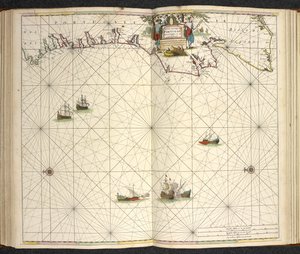
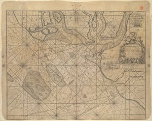

.jpg "「世界全図」、G・ア・スハーヘンに基づく。1689年頃刊行")
.jpg "シノワズリ風景と金彩の細部をもつ銘板、1680年頃")

.jpg "ナザレの聖母の奇跡。ナザレの聖母教会(ラルゴ・ノッサ・セニョーラ・ダ・ナザレ)。ポルトガル。")

 - (MeisterDrucke-103966).jpg "マゼラン海峡、パタゴニアの地図")

.jpg "コンゴ王アルバロ1世、オランダ使節を迎える - 1668年刊オルフェルト・ダッパー著『アフリカの記述』の挿絵")
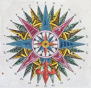
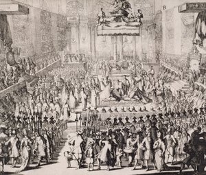
.jpg "四季:春、1896年")
.jpg "日傘をさす女性")
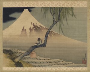
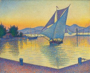
.jpg "子どもを抱く少女")
.jpg "P・S・クローイヤー")
.jpg "第四身分")
.jpg "傘松のあるイタリア風景、1807年")


.jpg "海の子供たち")

 1873 - (MeisterDrucke-126917).jpg "アルジャントゥイユの画家の庭(ダリアのある庭の一角)、1873年")
.jpg "夕暮れの睡蓮の池")

 +43 4257 29415
 support@meisterdrucke.com
 Mo-Do: 7:00 - 16:00 | Fr: 7:00 - 13:00