-
 ×
- ホーム
- アート プリント ▸
- 芸術家 ▸
- カテゴリー ▸
- アート スタイル ▸
- 額縁 ▸
- 印刷媒体 ▸
- すべての印刷メディア
- レオナルド・キャンバス(サテン)
- サルバドール・キャンバス(マット)
- ラファエル・キャンバス(マット)
- ファインアート・フォト(マット)
- ファインアート・フォト(サテン)
- ファインアート・フォト(バライタ)
- ファインアート・フォト(光沢)
- ムンク・水彩ボード
- ルノアール・水彩ボード
- ターナー・水彩ボード
- デューラー・水彩ボード
- ナチュラル・ライン(ヘンプ)
- ナチュラル・ライン(ライス)
- コウゾホワイト、110g
- コウゾナチュラル、110g
- インベホワイト、125g
- 雲竜、55g
- 竹、110g
- 雲竜プレミオ、165g
- ムラクモナチュラル、42g
- ビザンナチュラル、300g
- ビザンホワイト、300g
- アルミ複合 3mm
- アクリルガラス 5mm
- サンプルセットを注文
- どの印刷媒体が合っていますか?
キャンバス
写真用紙
水彩紙ボード
ナチュラルライン
和紙
特殊メディア
詳細情報
- ヘルプとサービス ▸
- ショップ ▸
- 連絡先


 3D/ARで見る
 お気に入りに追加
 壁紙の色を選択する
 部屋の中で絵画を見る
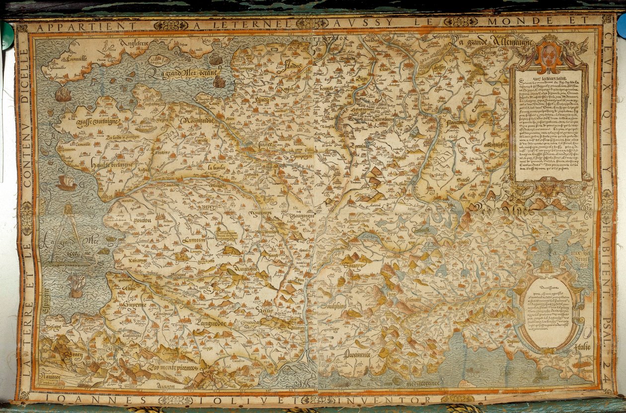
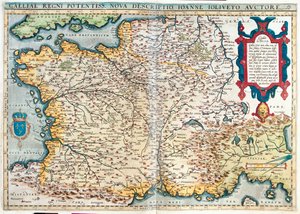
.jpg "フランス・ロレーヌ地方(彫刻")
.jpg "フランス・ロレーヌ地方(彫刻")
.jpg "ポーランド (彫刻)")
.jpg "ボリビアと西アマゾン")
.jpg "ドイツ、チェコスロバキア、ポーランド (彫刻)")
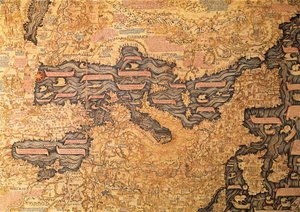
.jpg "ドイツのブラウンシュヴァイクとマクデブルク(エングレーヴィング)")
.jpg "リトアニア(彫刻")
.jpg "フランス・ブルゴーニュ (彫刻)")
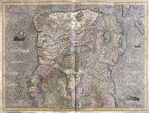
.jpg "オランダ・ゼーラント州(彫刻")
_Rome_(Italy_Region_Lazio)_Gulf_of_Trieste_(Ita_-_(MeisterDrucke-1529885).jpg "コモ湖(イタリア:ロンバルディア州)、ローマ(イタリア:ラツィオ州)、トリエステ湾(イタリア:フリウリ=ヴェネツィア・ジュリア州、スロベニア:伝統的な地域スロベニア・リトラル、クロアチア:イストリア県)")
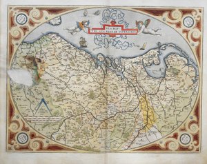
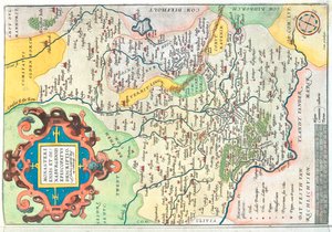
.jpg "ルクセンブルク(彫刻")
.jpg "タタールの地図")
.jpg "オランダ・フローニンゲンとフリースラント州(彫刻作品")
.jpg "チェコ・プラハ(彫刻")

.jpg "オランダ、ゲルダーランドとオーバーアイセル(彫刻")
.jpg "メキシコと中央アメリカの地図、「サラデルカルテジオグラフィック」(地理地図のホール)c.1570")
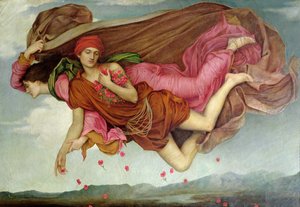
 - (MeisterDrucke-12375).jpg "雲居桜(雲居の桜)")

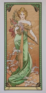
.jpg "蝶の捕獲者")
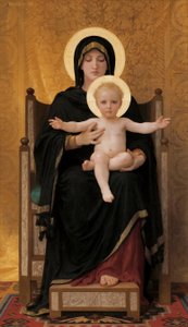
.jpg "クワの木、1889年")




.jpg "メレンコリア I")

 +43 4257 29415
 support@meisterdrucke.com
 Mo-Do: 7:00 - 16:00 | Fr: 7:00 - 13:00